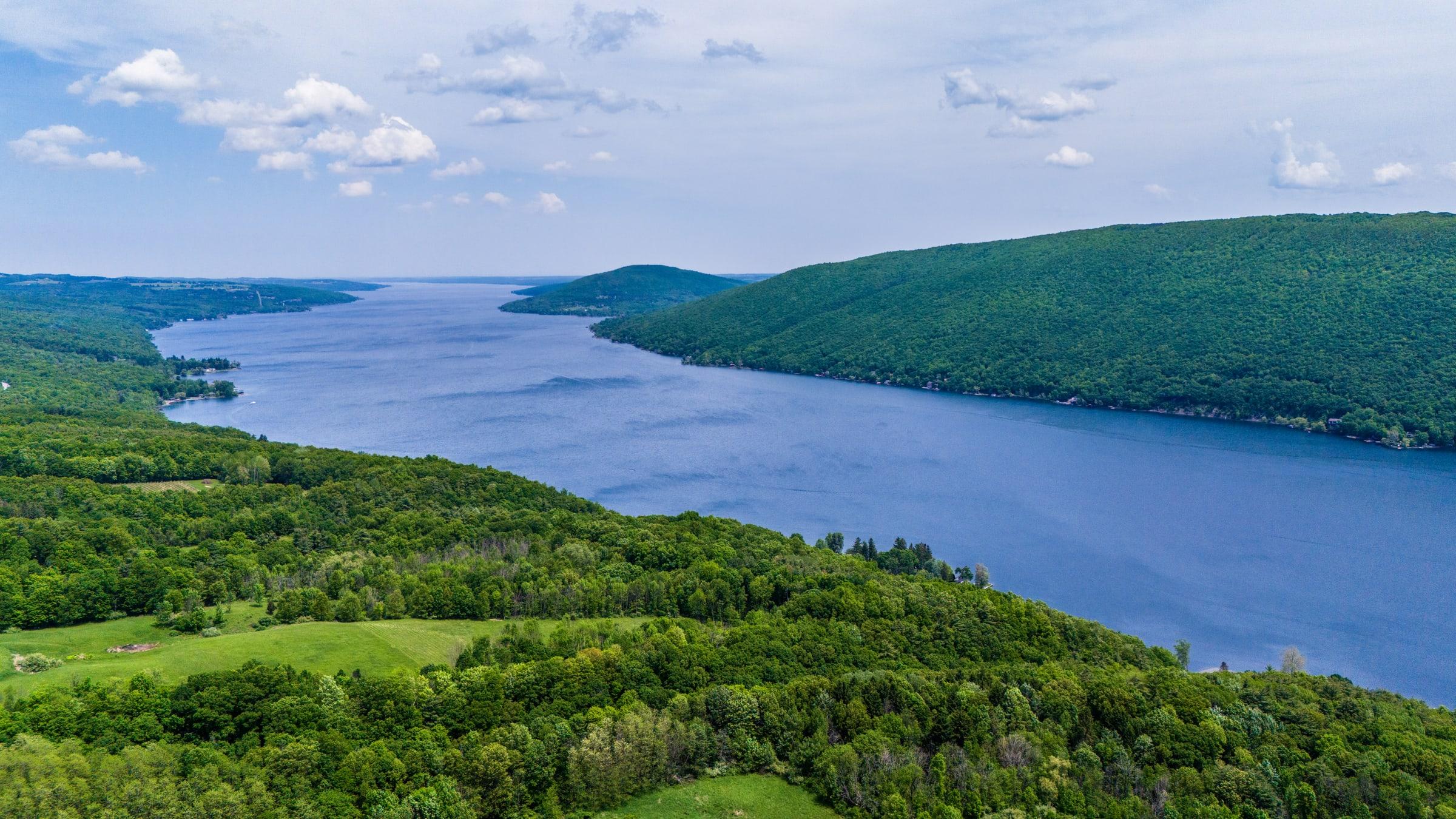
Western · 42.75° N · 77.28° W
Canandaigua Lake
Waterfront mornings and a road into the hills.
Lake overview · Explore the landscape
The Finger Lakes · All eleven
Each lake changes the route, the pace, and what belongs in the day. Use these profiles to choose a base before building the checklist.
Eleven profiles · Coverage shown honestly
Regional orientation
The markers use each lake’s approximate geographic center, from west to east. Choose one to open its profile.
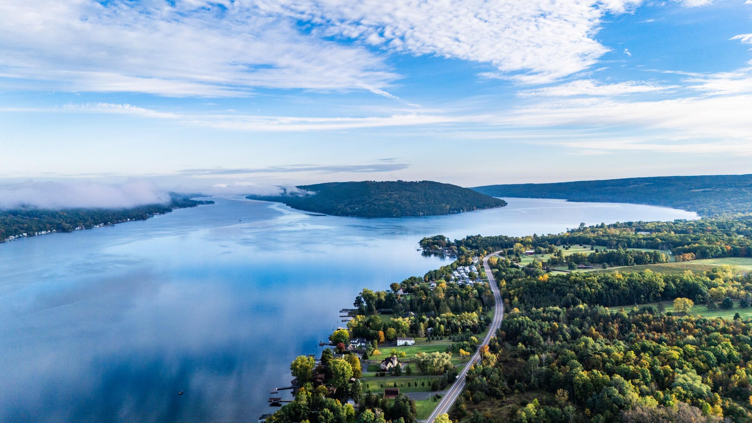
Begin here · Keuka Lake
Keuka's branching shoreline makes the choice of a home base part of the adventure. Begin around Hammondsport, Penn Yan, or Branchport, then bring together lake views, local stops, and time to linger on the same side of the water.
32 public map points
01 · Western
Open a profile for its geography, current public coverage, and the most useful next way into the lake.
Western · 42.75° N · 77.28° W
Waterfront mornings and a road into the hills.
Lake overview · Explore the landscape
Western · 42.72° N · 77.61° W
Protected water and deliberately quiet recreation.
Lake overview · Explore the landscape
Western · 42.72° N · 77.57° W
A protected lake without a tourism-town center.
Lake overview · Explore the landscape
Western · 42.78° N · 77.51° W
A close-knit western lake for an unhurried day.
Lake overview · Explore the landscape
Western · 42.80° N · 77.72° W
The western shoreline gateway from Rochester.
Lake overview · Explore the landscape
02 · Central
Open a profile for its geography, current public coverage, and the most useful next way into the lake.
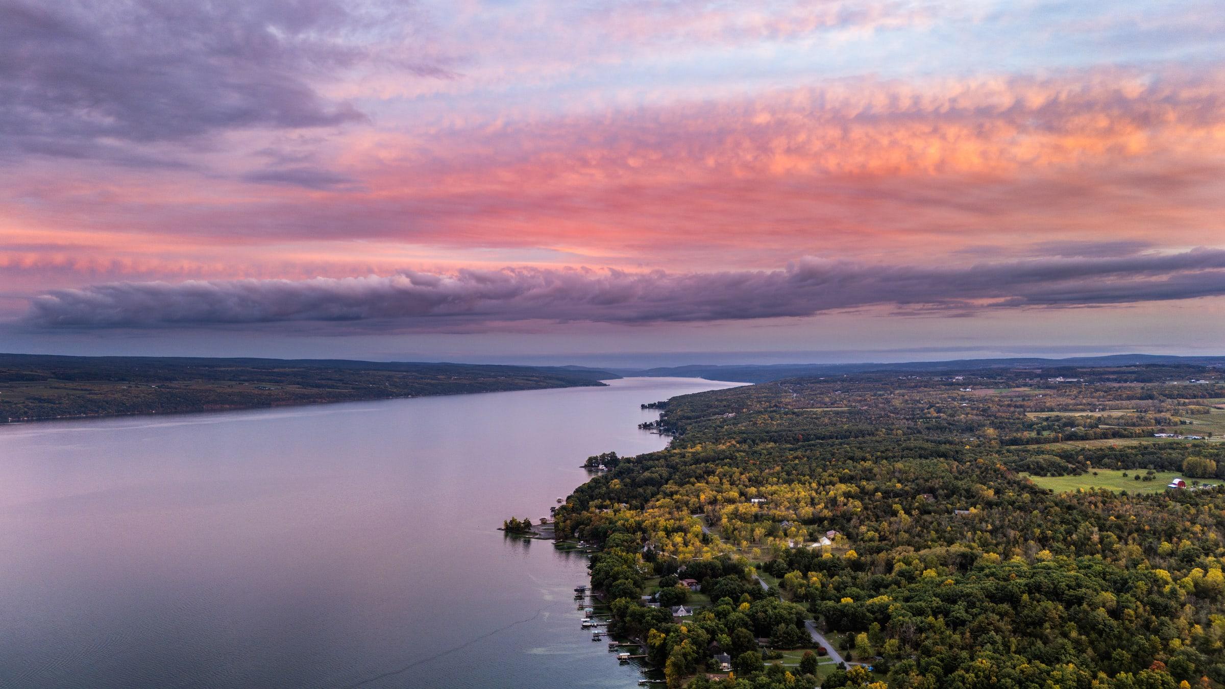
Central · 42.67° N · 76.94° W
Two shorelines, wine country, and room to wander.
Lake overview · Explore the landscape
Central · 42.60° N · 76.70° W
Gorge country, shoreline villages, and an Ithaca beginning.
Lake overview · Explore the landscape
03 · Eastern
Open a profile for its geography, current public coverage, and the most useful next way into the lake.
Eastern · 42.90° N · 76.42° W
A village-first visit, with the lake beyond.
Lake overview · Explore the landscape
Eastern · 42.85° N · 76.53° W
A compact lake with Auburn at the north end.
Lake overview · Explore the landscape
Eastern · 42.87° N · 76.30° W
The eastern edge, at a quieter scale.
Lake overview · Explore the landscape
See the geography
Start Exploring stays fast in 2D and lets you move into the optional 3D view when the terrain matters. Only reviewed public records appear on the map.
Open Start Exploring →